

Description
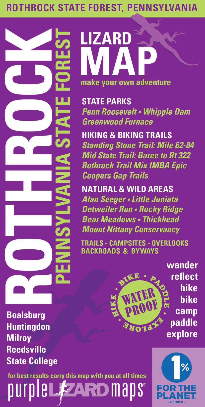
Purple Lizard's Rothrock Lizard Map will help you plan all your adventures in and around Rothrock State Forest, located minutes from State College and Penn State.
PRODUCT FEATURES:
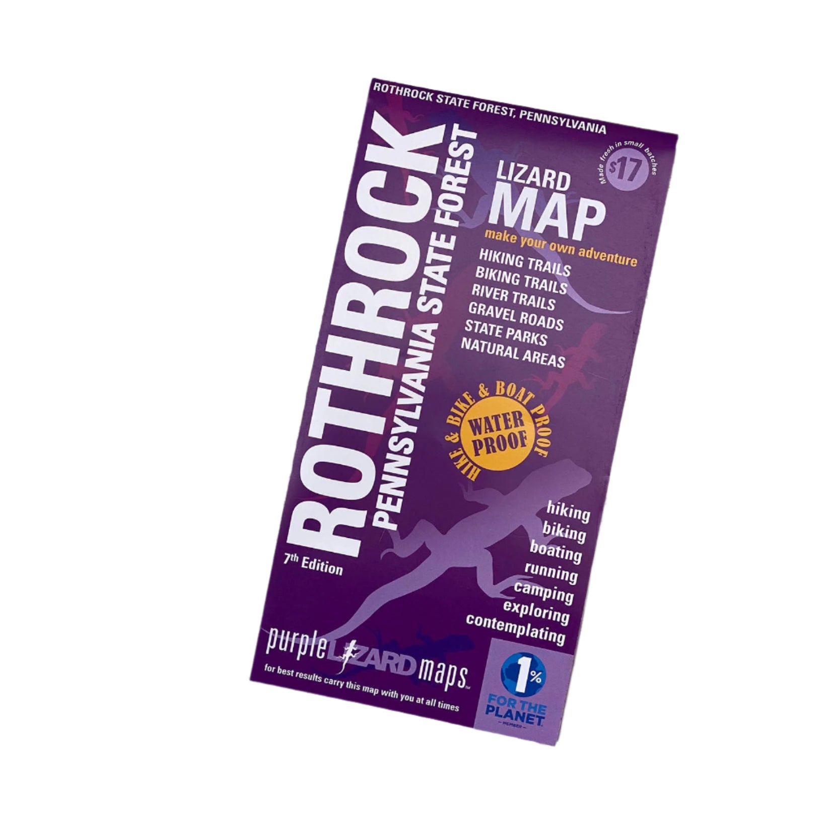
- This is the map that started it all back in 1997. Now in its 8th edition, this map of the storied Rothrock State Forest, in the heart of Central Pennsylvania, is your customer's best guide to this mountain biking and hiking mecca. Rothrock boasts some of the best technical mountain biking trails in the US and also offers outdoor enthusiasts stunning peaks and valleys, beautiful hiking trails and back roads to satisfy every adventurer. Just a few hours from Philadelphia, Baltimore, DC, New York and Pittsburgh, Rothrock State Forest has become a destination for outdoor enthusiasts throughout the east coast.
- A beautifully designed, easy to read topographic map featuring contour lines, elevation data, shaded relief, and all the key details you need to plan your adventures: backroads and trails, trail use designations, road surfaces (paved/gravel/4wd), parking access, campsites, public lands, historic sites and more.
- Lizard Maps are durable, waterproof, and give you the big picture – the map opens to 24” x 36” and folds easily to 4” x 8” to fit in your back pocket. The scale is 1:39,450 (1 inch = 0.6 mile). Includes both lat./lon. and UTM coordinate systems.
- Public land: 90,000 acres of Rothrock State Forest, part of Bald Eagle State Forest, as well as Greenwood Furnace, Whipple Dam and Penn Roosevelt State Parks, the Penn State Stone Valley Forest, Mount Nittany Conservancy Trail System and Preserve and parts of State Game Lands 112, 118, 322.
- Destinations: Alan Seeger Natural Area which has a stand of old growth hemlock and Bear Meadows Natural Area, which is among the largest freshwater bogs in the northeast.
- Roads: all Lizard Maps show which roads are paved, dirt/gravel or 4wd roads as well as which are gated. Perfect for bicyclists, dual sport riders and overlanders looking to put together a remote backcountry route across public lands.