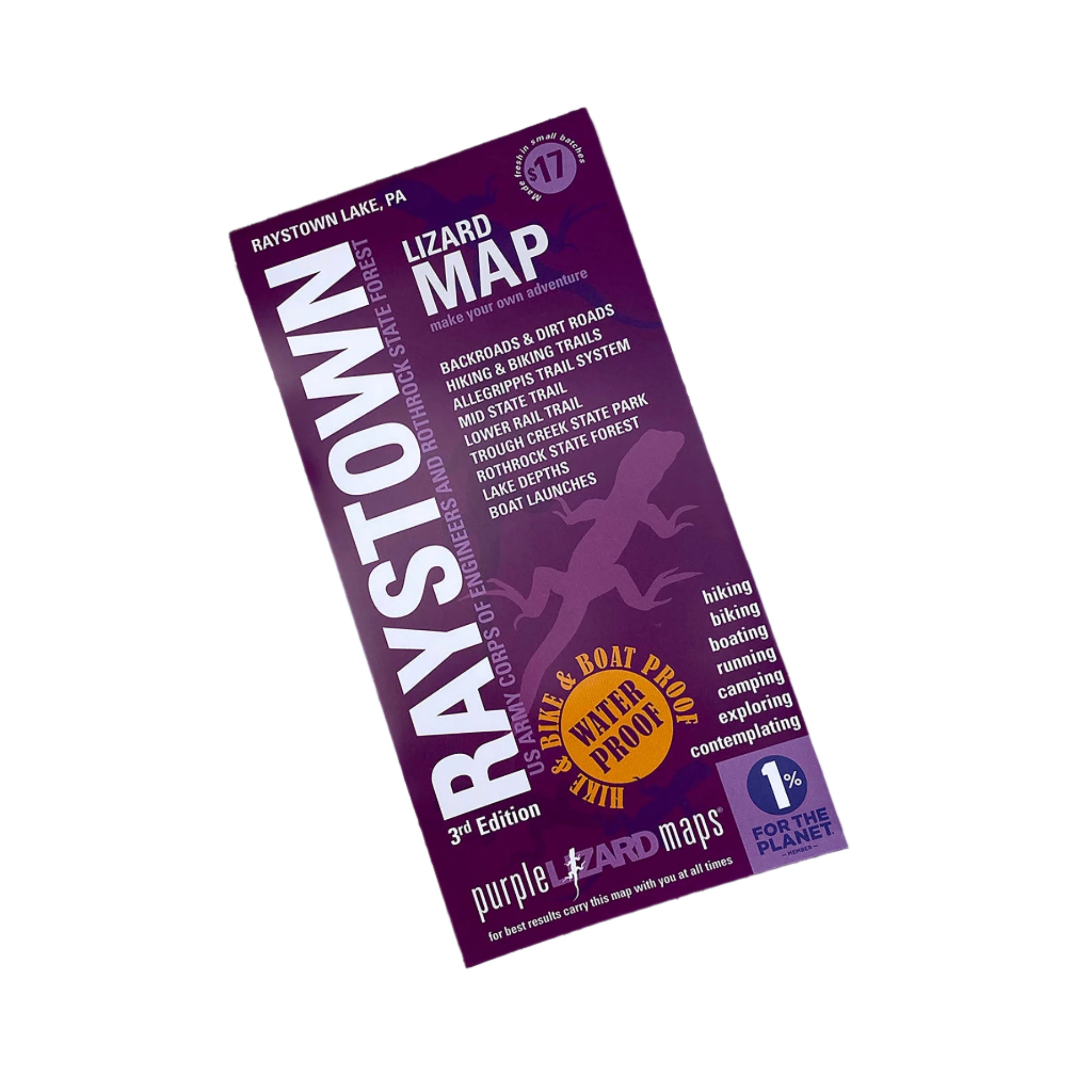


Description
Purple Lizard's Raystown Lake Map is a beautifully designed, easy to read topographic map featuring contour lines, elevation data, shaded relief, lake depths, lake navigation markers, and all the key details you need to plan your adventures: backroads and trails, trail use designations, road surfaces (paved/gravel/4wd), parking access, campsites, public lands, historic sites and more.
PRODUCT FEATURES:
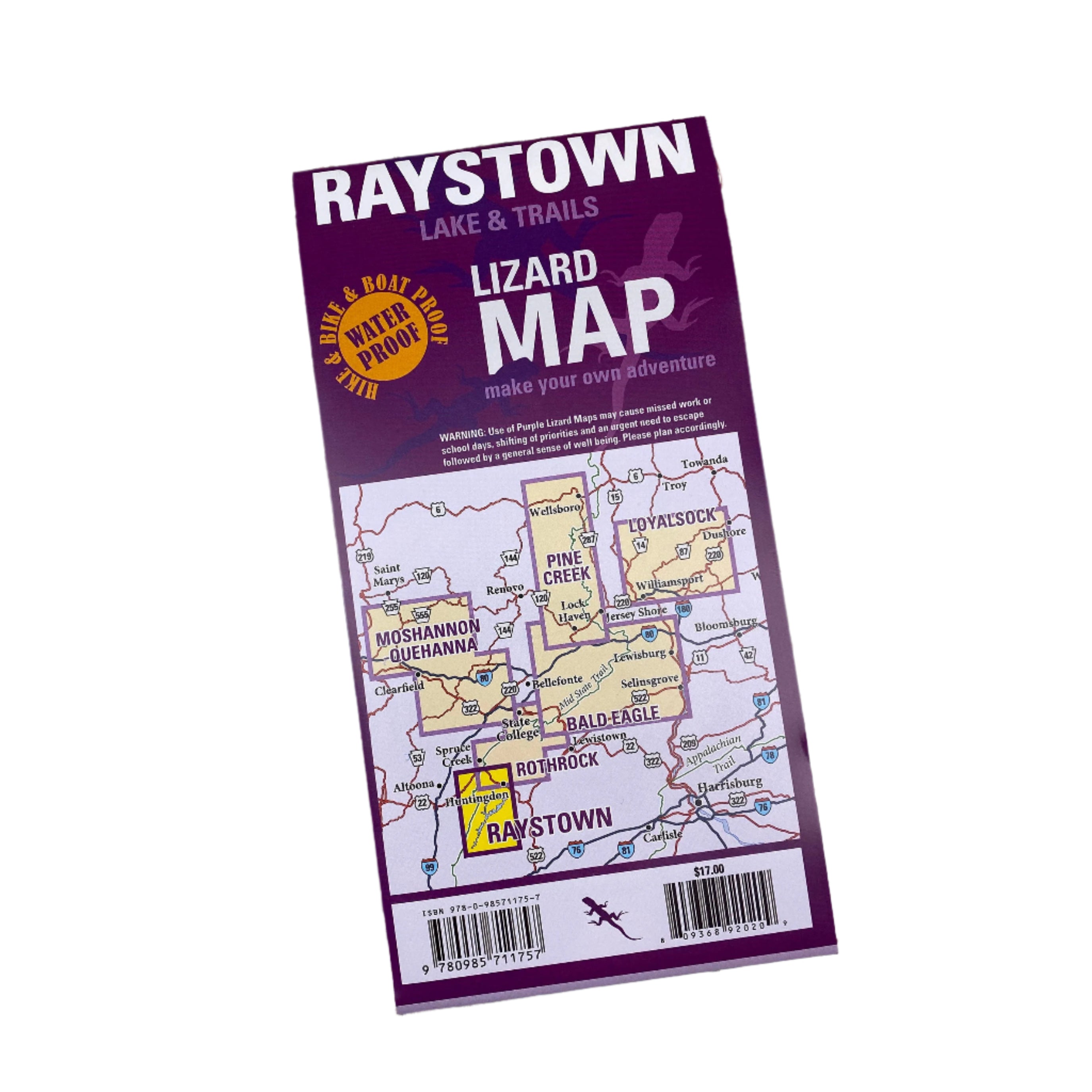
- Lizard Maps are durable, waterproof, and give you the big picture – the map opens to 24” x 36” and folds easily to 4” x 8” to fit in your back pocket. The Raystown Lizard Map covers all of Raystown Lake on one side, the scale is 1:45,135 (1 inch = 0.7 mile). A detailed map of the Allegrippis Trail System and Trough Creek State Park is on the other side, the scale is 1:22,588 (1 inch = 0.4 mile). Includes both lat./lon. and UTM coordinate systems.