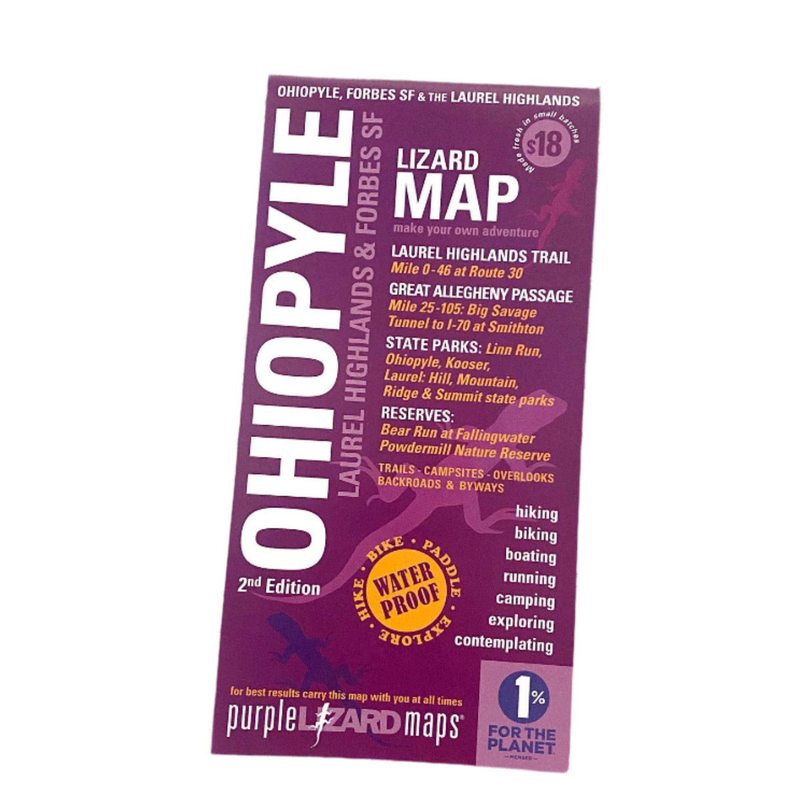

Description
Purple Lizard's Ohiopyle-Laurel Highlands Lizard Map will help you plan all your adventures in and around Forbes State Forest, Ohiopyle State Park and the Laurel Highlands region.
PRODUCT FEATURES:
- A beautifully designed, easy to read topographic map featuring contour lines, elevation data, shaded relief, and all the key details you need to plan your adventures: backroads and trails, trail use designations, road surfaces (paved/gravel/4wd), parking access, campsites, public lands, historic sites and more.
- This beautiful region includes parks and forests, quaint mountain and river towns, and tons of opportunity for outdoor recreation, family activities and visiting historic sites. Hiking, biking, boating, camping - this part of Pennsylvania has it all!
- Super easy to get to: Located within 200 miles of several major metro areas including Pittsburgh, Washington D.C., Baltimore, Cleveland and Columbus, Ohiopyle-Laurel Highlands offers something for every outdoor enthusiast.
- Lizard Maps are durable, waterproof, and give you the big picture – the map opens to 24” x 36” and folds easily to 4” x 8” to fit in your back pocket. One side features the Laurel Highlands region at a scale of 1:87,000 (1 inch = 1.3 miles) and the other side is a detailed map of Ohiopyle State Park at a scale of 1:27,200 (1 inch = 0.4 mile). Includes both lat./lon. and UTM coordinate systems.