Description
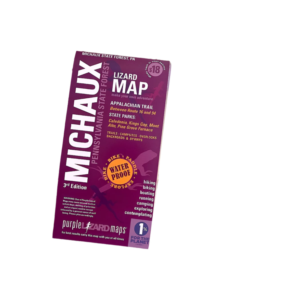
Explore and find every nook and cranny in Michaux State Forest with Purple Lizard's 3rd edition of their Michaux Map.
PRODUCT FEATURES:
• Roads: all Lizard Maps show which roads are paved or dirt/gravel as well as which are gated administratve roads. Perfect for bicyclists, dual sport riders and overlanders looking to put together a remote backcountry route across public lands
• Destinations: the Appalachian Trail Museum, which is considered the symbolic halfway point of the AT, historic iron furnaces and an ironmaster’s mansion, the mansion at King’s Gap, and the historic Camp Michaux, a former secret WWII POW interrogation camp
• Public land: all of Michaux State Forest (over 85,000 acres), Caledonia, Mont Alto, and Pine Grove Furnace State Parks and the Kings Gap Environmental Center
• Durable, waterproof, and gives you the big picture – the map opens to 24” x 36” and folds easily to 4” x 8” to fit in your back pocket. The scale is 1:37,270 (1.7 inches = 1 mile). Includes both lat./lon. and UTM coordinate systems

