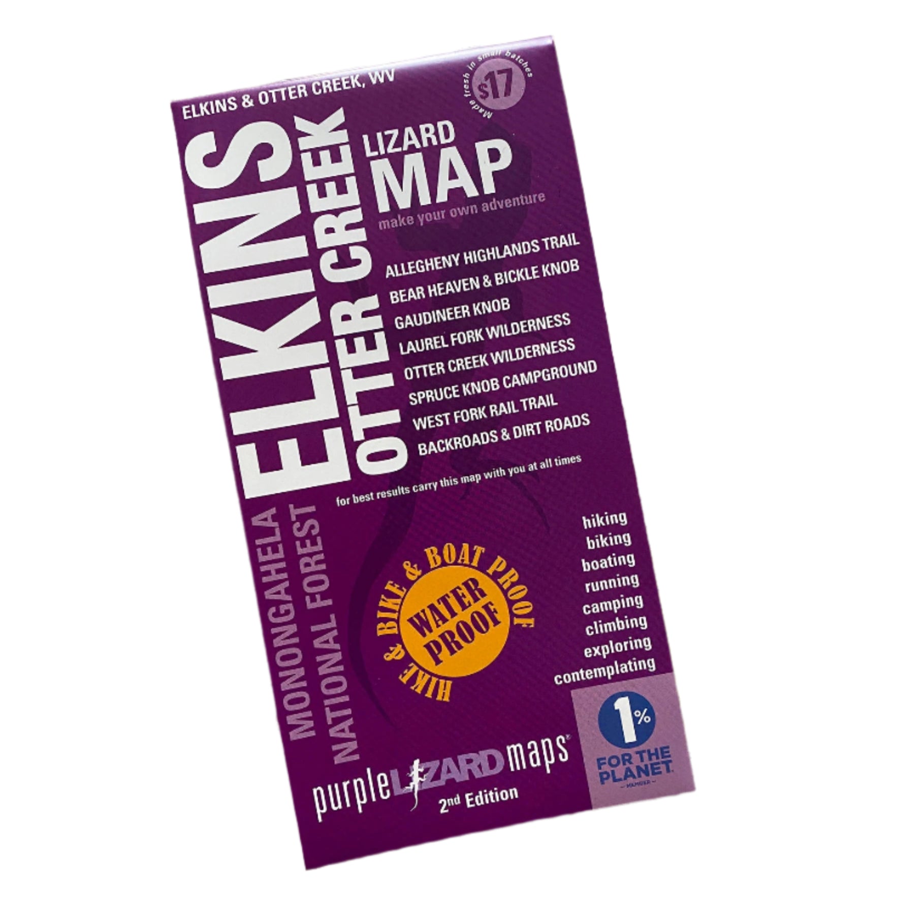

Description
Purple Lizard's Elkins-Otter Creek Lizard Map will help you plan all your adventures in and around the northwestern tier of Monongahela National Forest including the Otter Creek and Laurel Fork Wilderness.
PRODUCT FEATURES:
- A beautifully designed, easy to read topographic map featuring contour lines, elevation data, shaded relief, and all the key details you need to plan your adventures: backroads and trails, trail use designations, road surfaces (paved/gravel/4wd), parking access, campsites, public lands, historic sites and more.
- Lizard Maps are durable, waterproof, and give you the big picture – the map opens to 24” x 36” and folds easily to 4” x 8” to fit in your back pocket. The scale is 1:48,000 (1 inch = 0.75 mile). Includes both lat./long and UTM coordinate systems.
- Public land: the northwestern tier of Monongahela National Forest, Fernow Experimental Forest, Otter Creek Wilderness, Laurel Fork North and South Wilderness and a section of George Washington National Forest.
- Destinations: Gandy Creek Dispersed Camping Area, Johnny Meadows Camping Area, Spruce Knob Campground, Sinks of Gandy, Middle Mountain Cabins, Gaudineer Scenic Area, Fort Cheat Historic Site, Stuart Campground, Stone Coal Dispersed Camping, Little River Dispersed Camping, Locust Springs Recreation Area, Bear Heaven and Bickle Knob Observation Tower.