Description
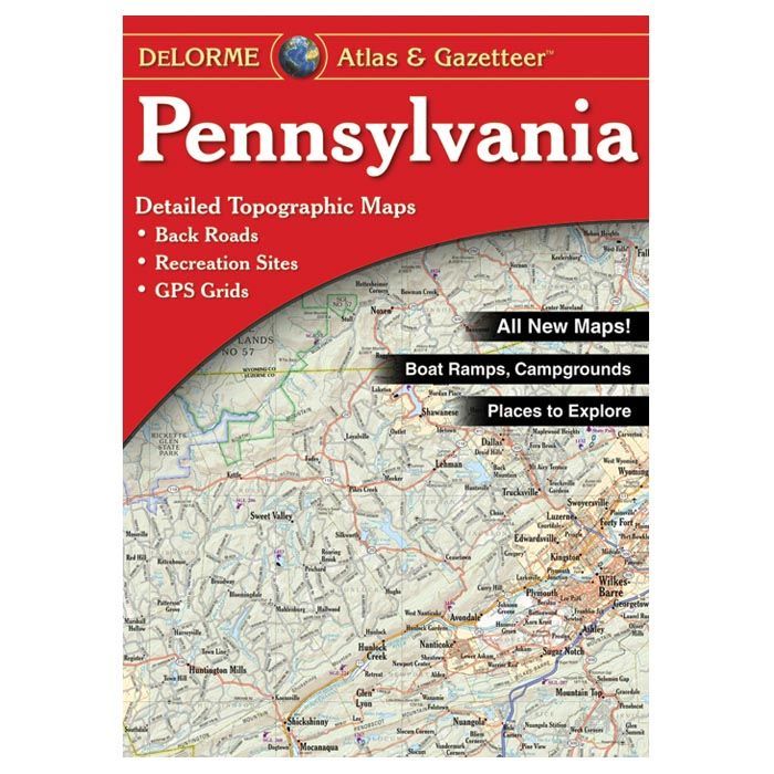
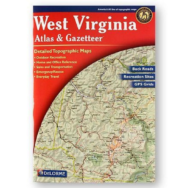
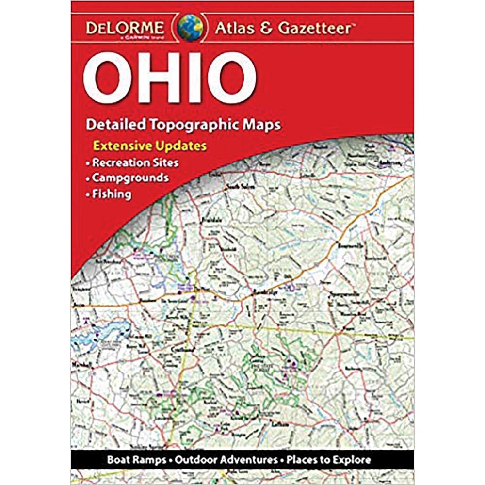
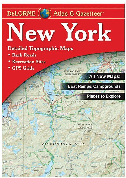
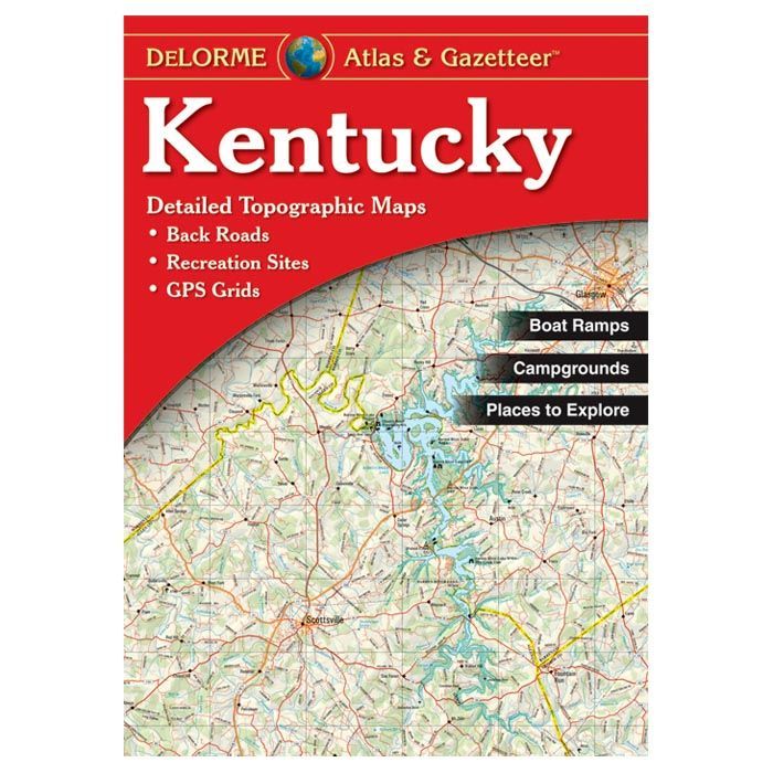
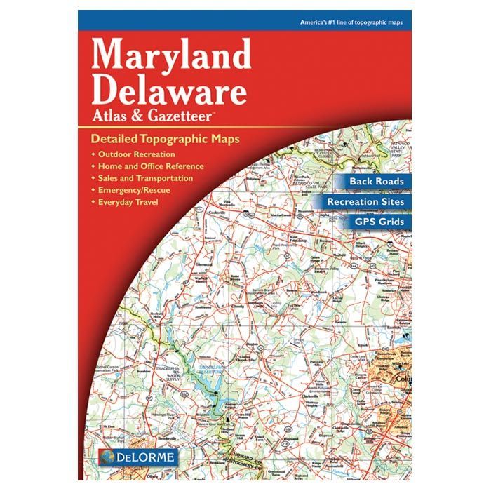
Find your way through back roads, dirt roads and trails, elevation contours, remote lakes and streams, boat ramps, public lands for recreation, land use, land cover forests, wetlands, agriculture, trailheads, campgrounds, prime hunting and fishing spots. From scenic drives to places to camp, Delorme has you covered.
PRODUCT FEATURES:
• Contour Interval: 100 feet
• Index: Placenames
• GPS: Grids & tick marks
• Each Page Covers: 23.9 miles x 32.8 miles
• Scale: 1:150,000 (1"=2.4 miles)
