Description
Explore Garrett County, Maryland with Purple Lizard Maps!
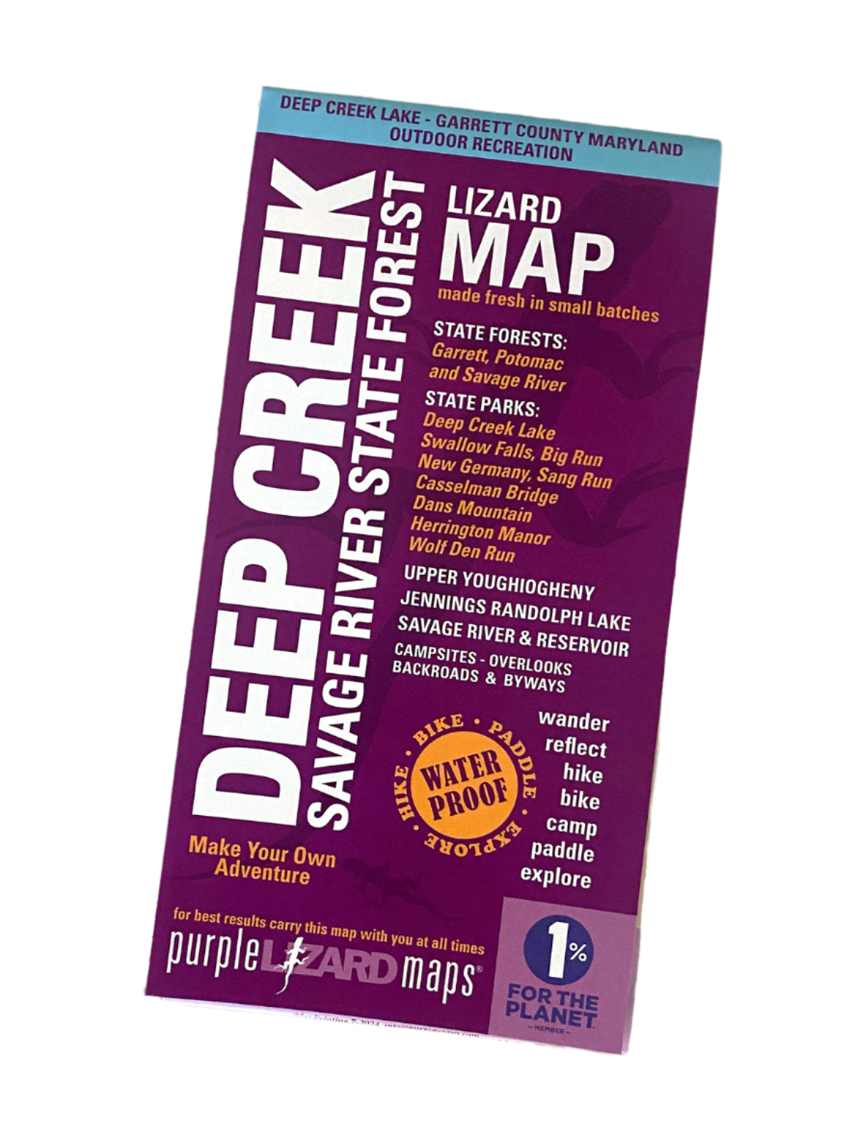
The all new Lizard Deep Creek Savage Map covers the stunning landscapes of Garrett County and Deep Creek Lake along with the Garrett, Potomac and Savage River State Forests, offering a diverse network of trails, campsites, and scenic spots throughout this truly special area. You'll find mountain bike trails, hiking trails, ski trails and OHV trails throughout the county. It also has some of the very best whitewater boating access on the east coast. Perfect for any outdoor recreation enthusiast!
Key Features:
Easy-to-Read Design: Topographic details, contour lines, and elevation data.
Durable & Waterproof: Perfect for all weather conditions.
Comprehensive Coverage: Roads, trails, parks, historic sites, and natural areas.
User-Friendly Scale: 1:49,830 (1 inch = 0.8 mile), with lat/lon and UTM coordinates.
Public Lands:
Garrett, Potomac, and Savage State Forests
Big Run, Casselman Bridge, Dans Mountain, Deep Creek Lake, Herrington Manor, New Germany, Sang Run, Swallow Falls, and Wolf Den Run State Parks
Destinations:
Nine State Parks
Three State Forests
Deep Creek Lake
Upper Youghiogheny River
Savage River and Reservoir
Jennings Randolph Lake
Towns:
Accident, McHenry, Oakland, Friendsville, Frostburg, and Grantsville, MD
Keyser, WV
Perfect For:
Hikers, bikers, paddlers, adventurers and explorers
Highlighted trails for hiking, mountain biking, skiing and OHV
Major Trails:
Big Savage Mountain Hiking Trail
Shared use mountain bike trails in state parks and forests
Points of Interest:
Campgrounds, picnic areas, climbing areas, scenic overlooks, historic points, and over 75 reservable and first-come camping sites
Lizards!
The little purple Lizards you’ll find scattered on the map signify an interesting spot to check out. The Legend says “This Could Mean Anything: cool place, sweet view, local legend”.